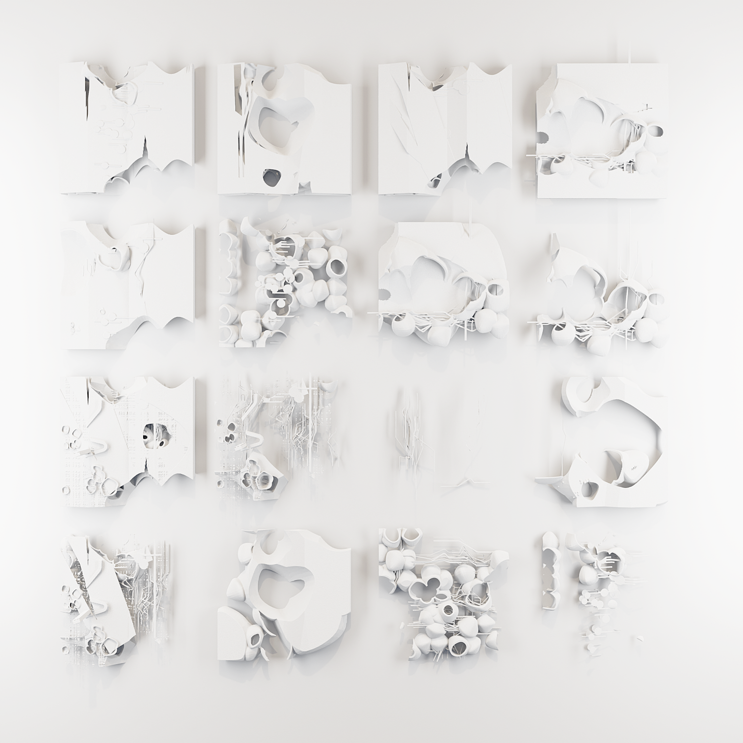
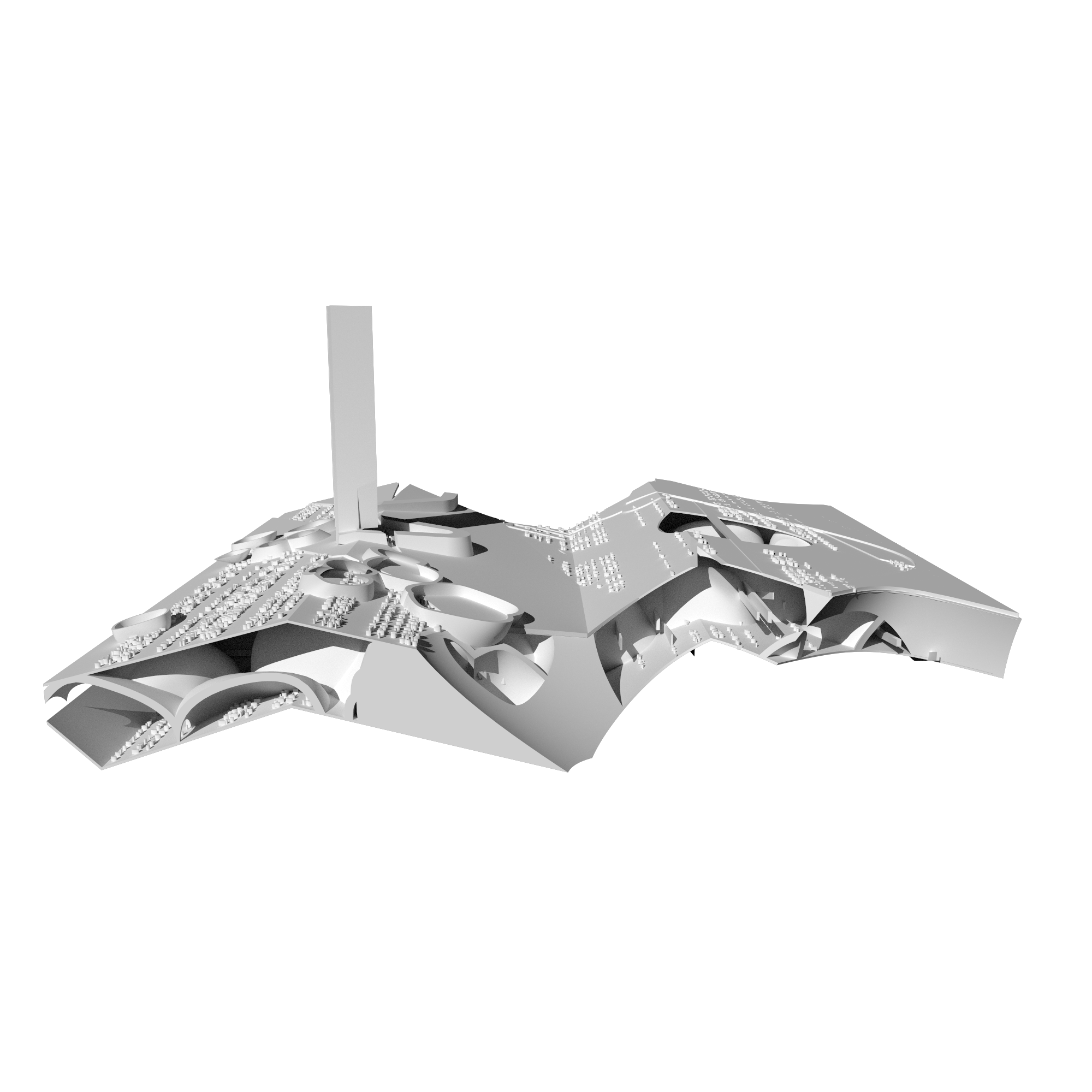
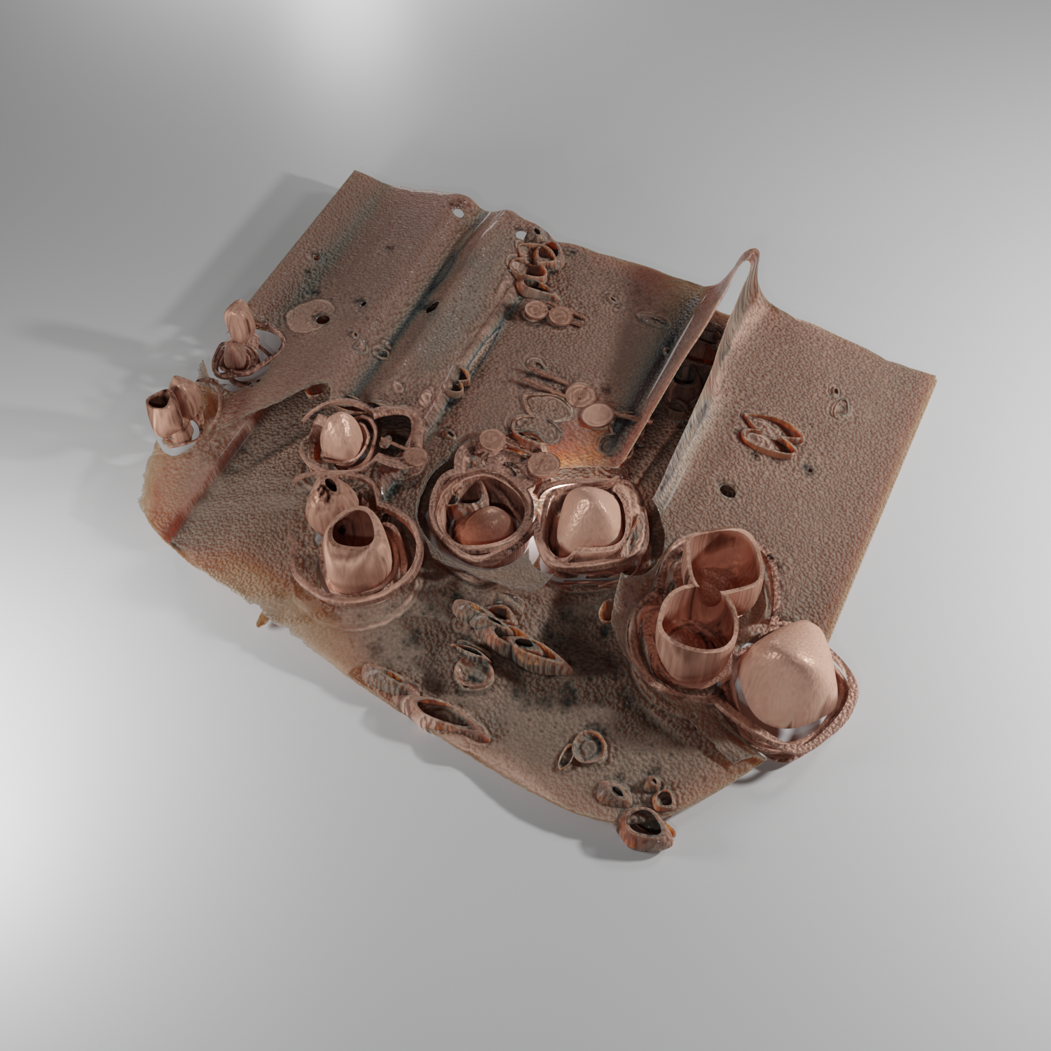
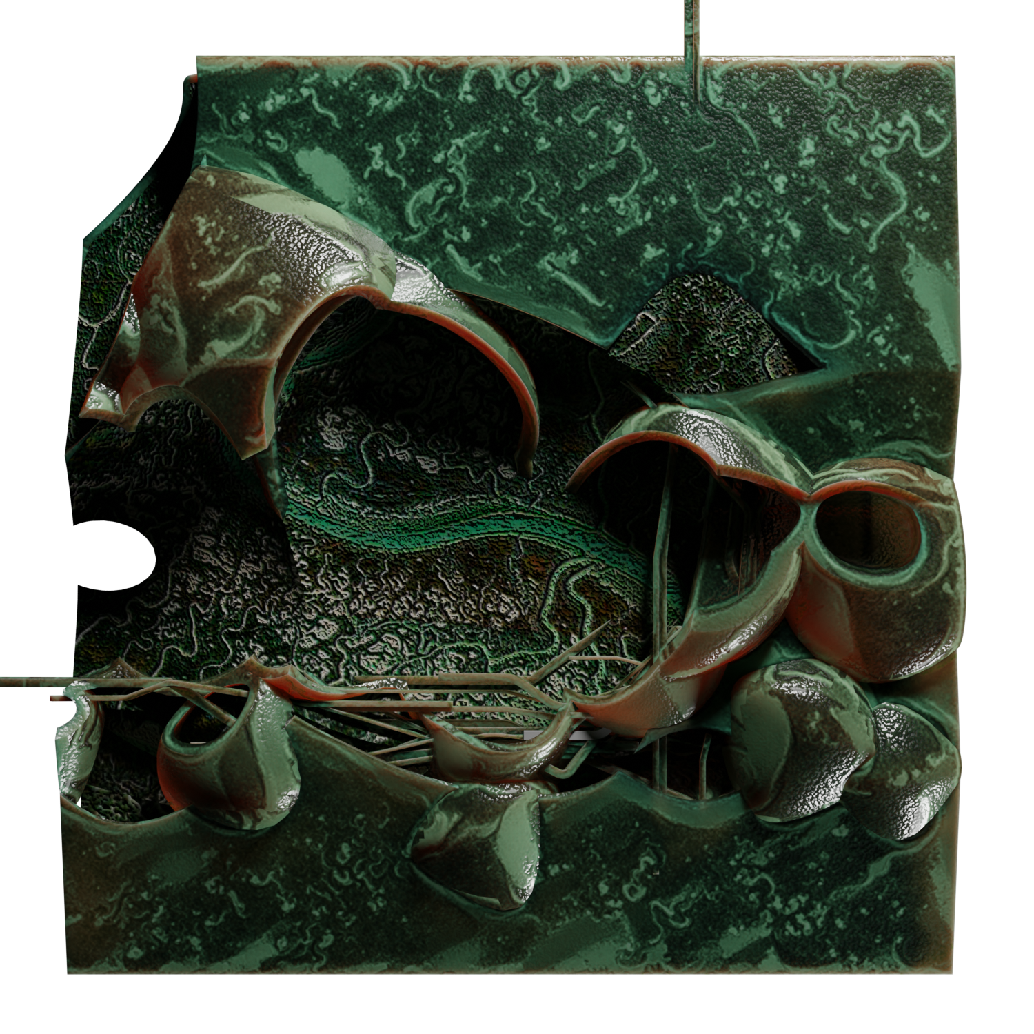
The exercise, 'Generative landscape images,' produced by GPS coordinates and custom scripting, is a counterpoint to the 'truthful' representations such as google earth, GIS, or other maps. Rather than aiming for a certain degree of objectivity, the goal of these images is to embed operationality into a model. The outcome of the exercise is to create new maps and visualizations using only GPS coordinates and 'drawing with bodies' using a simple track function on smartphones.
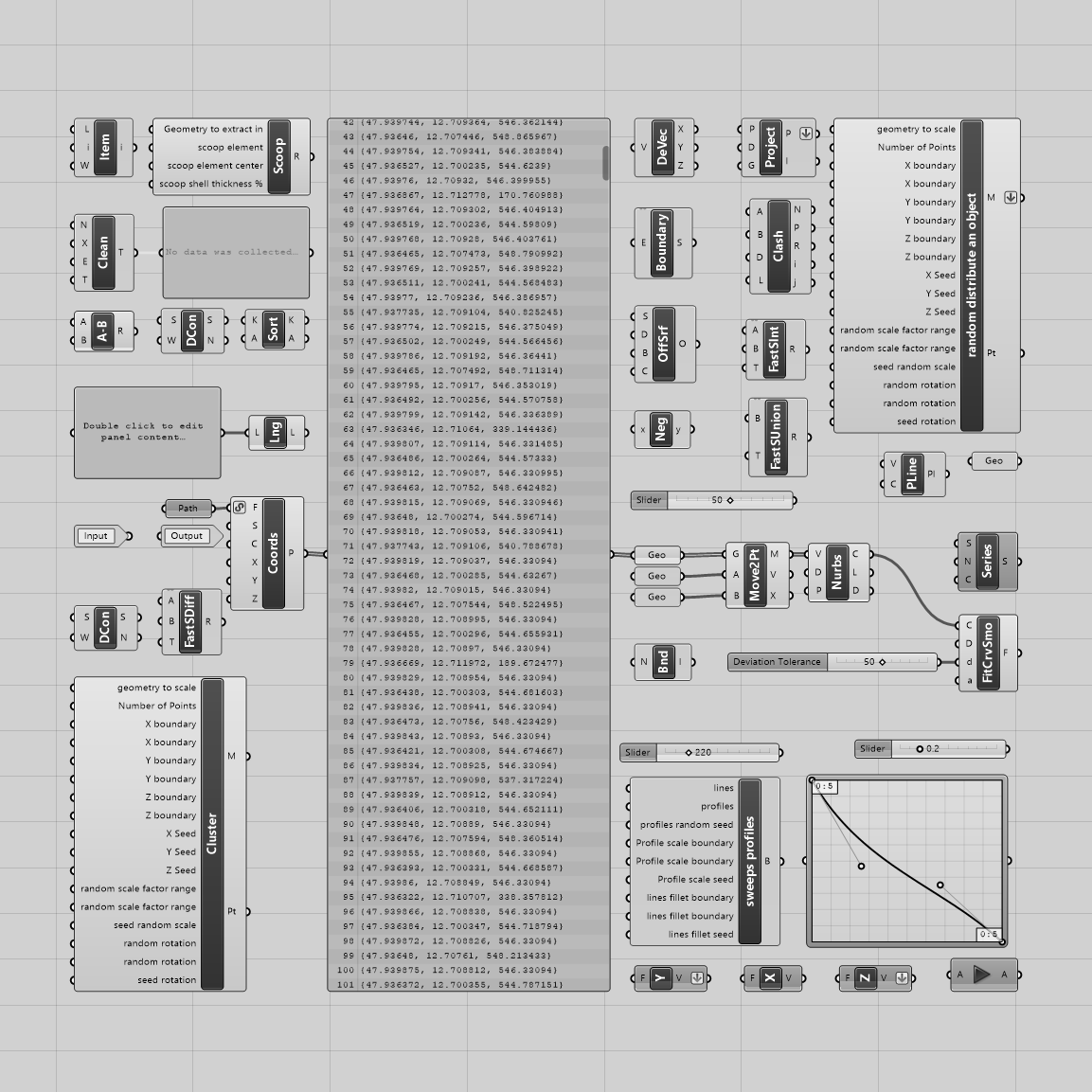
The toolbox consists of a mix of custom and standard scripts and GPS coordinates arrays.
Development of scripts and other visualizations of the same code.